
Locals are being put on alert for weather across the region today.
A coastal hazard warning has been issued by the Bureau ahead of some wild weather heading our way.
We’re being warned of ‘abnormally high tides’ as a series of troughs and cold fronts move across he state.
“A series of vigorous troughs and cold fronts will cross Victoria over the coming days as a low passes south of Tasmania. This is expected to bring strong winds, elevated surf and sea levels across the state,” the warning said.
“Abnormally high tides may lead to sea water flooding of low-lying coastal areas for the entire Victorian coast. Tides are likely to rise well above the normal high tide mark during this afternoon and evening high tides.
“Tides are again expected to rise well above the normal high tide mark during Wednesday afternoon and evening high tides.”
There’s also a separate severe weather warning in place for damaging winds.
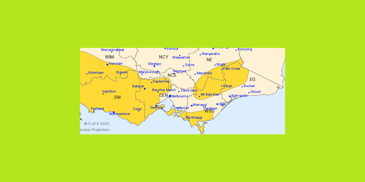
“Strong west to northwesterly winds averaging 50 to 60 km/h with damaging gusts of wind of around 90 km/h are possible from midday for the Central district during the afternoon,” the warning said.
“Damaging wind gusts are also possible in showers and thunderstorms for inland and lower-lying parts of the warning area in the afternoon.”
Full details are available on the BOM website.